

You can find on this page the Phoenix neighborhood map to print and to download in PDF. The Phoenix districts map presents quarters, region, suburbs and surrounding area of Phoenix in Arizona - USA.
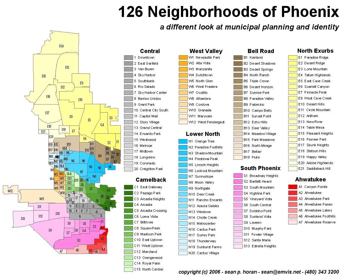
The Phoenix neighborhoods map shows region and suburbs of Phoenix areas. This neighborhood map of Phoenix will allow you to discover quarters and surrounding area of Phoenix in Arizona - USA. The Phoenix quarters map is downloadable in PDF, printable and free.
The Valley of the Sun (or just “the Valley”) encompasses Phoenix and a metropolitan area of more than 20 cities. Phoenix has some 1.6 million residents (more than Philadelphia, fewer than Houston); the whole metropolitan area has a population of 4.6 million. While residents of the outer city and the suburbs often use this term to refer to central Phoenix generally, the actual Downtown, with its high-rise office towers, is clustered around Central Avenue and Washington Street and stretches from 7th Street to 7th Avenue. (The state government complex is a mile west.) Here you will find Arizona State University ever-expanding downtown Phoenix campus, as well as the Arizona Diamondbacks Chase Field and the Phoenix Suns Talking Stick Resort Arena as its shown in Phoenix neighborhoods map. Heading north on Central, the area around the intersection of Indian School Rd. is called Midtown. The intersection of Central Avenue and Camelback Road a mile north is Uptown, which has several good restaurants and even—heavens!—actual pedestrians.
“The Biltmore,” as it is called, 3 miles east of Uptown on the Camelback Corridor, centers on Camelback Road between 24th and 40th streets. You will find upscale shopping, a few residential and office towers, and local landmarks like the Arizona Biltmore Hotel, the Wrigley Mansion, and the chi-chi Biltmore Fashion Park shopping mall, at 24th Street and Camelback Road as you can see in Phoenix neighborhoods map. Just east of the Biltmore, Arcadia includes the intersection of Camelback and 44th Street, a cluster of upscale stores and restaurants, and some very expensive homes stretching east toward Scottsdale and creeping up the sides of Camelback Mountain. Indian School Road, a mile south of Camelback, has become a strip of lively restaurants as well. Scottsdale, a narrow city of 250,000, forms the east border of Phoenix. It extends from Tempe in the south up past Carefree in the north, a distance of some 30 miles. Downtown Scottsdale includes Old Town (Western-themed galleries and shops), the Waterfront (upscale shopping and restaurants next to a canal), the swanky Scottsdale Fashion Square mall, and a raucous nightlife quarter.
Tempe is the home of Arizona State University and has lots of nightclubs and bars as well as all the other trappings of a university town. Mill Avenue, which has dozens of interesting shops along a stretch of about 6 blocks, is the center of activity both day and night. Paradise Valley -- This 15-square-mile residential enclave, surrounded by Phoenix and Scottsdale, is largely nestled between Camelback and Mummy mountains north of the Biltmore as its mentioned in Phoenix neighborhoods map. Mesa -- This fast-growing eastern suburb, home to some tech activity and an extravagant Mormon Temple, is marked by large shopping malls, numerous chain motels, and the beautiful Mesa Arts Center. Gilbert -- A welcome respite from the somewhat bland East Valley, charming downtown Gilbert is a few blocks of two-story buildings fronting N. Gilbert Road a few miles south of route 60. Chandler -- Lying to the south of Tempe, this city has been booming over the past decade. New restaurants have opened, and the old downtown has had a bit of a face-lift.